engThis the series consists of ordinances enacted by the City of Shreveport in 1972. Topics include zoning reclassifications, traffic and parking regulations, stop-and-yield intersections, street paving projects, easement actions, street and alley abandonments, capital improvements, and other municipal governance matters.
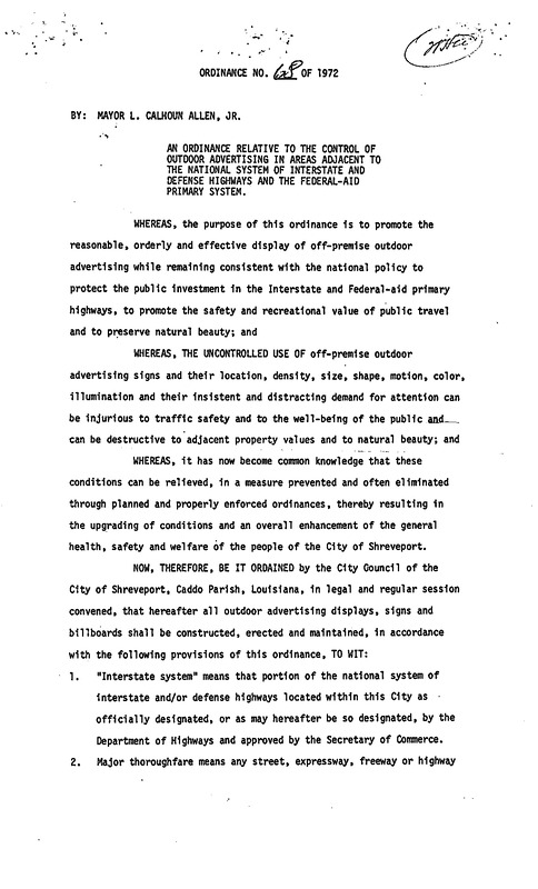
Ordinance relative to the control of outdoor advertising in areas adjacent to the national system of interstate and defense highways and the federal-aid primary system.
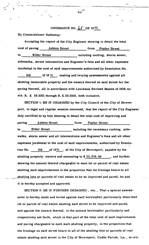
Ordinance accepting the report of the City Engineer showing in detail the total cost of paving Ashton Street from Poplar Street to Elder Street, including curbing, storm sewer, sidewalks, street intersection, and Engineer's fees, and all other expenses incidental to the cost of said improvements.
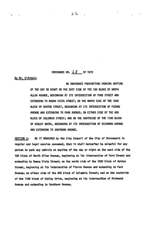
Ordinance prohibiting parking any time of the day or night on the east side of the 100 block of North Allen Avenue, beginning at its intersection of Frod Street and extending to Buena Vista Street; on the north side of the 1600 block of Ashton Street, beginning at its intersection of Pierre Avenue and extending to Park Avenue; on either side of the 600 block of Columbia Street; and on the southside of the 100 block of Ockley Drive, beginning at its intersection of Richmond Avenue and extending to Southern Avenue.
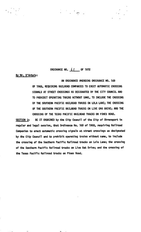
Ordinance amending Ordinance No. 169 of 1968, requiring railroad companies to erect automatic crossing signals at street crossings as designated by the city council and to prohibit operating trains without same, to include the crossing of the Southern Pacific Railroad tracks on Lola Lane; the crossing of the Southern Pacific Railroad tracks on Live Oak Drive; and the crossing of the Texas Pacific Railroad tracks on Pines Road.
Ordinance creating and establishing a freight zone, to be used only by vehicles for loading and unloading purposes, in a space of twenty-two (22) feet directly in front of 1205 Texas Avenue.
Ordinance making the intersection of Norton Street and Theo Street a four-way stop intersection, requiring all traffic and vehicles approaching this intersection to come to a full stop before entering the intersection and to proceed with caution.
Ordinance amending Ordinance No. 184 of 1957 of the City of Shreveport, La., by changing the zoning classification of the south half of four lots located on the west side of Hearne Avenue, 150 feet south of Hollywood Avenue, from R-1, One-Family Residence District to B-2, Neighborhood Business District, and 5810 Hearne Avenue from R-1 to B-3-L-1, Package Liquor District.
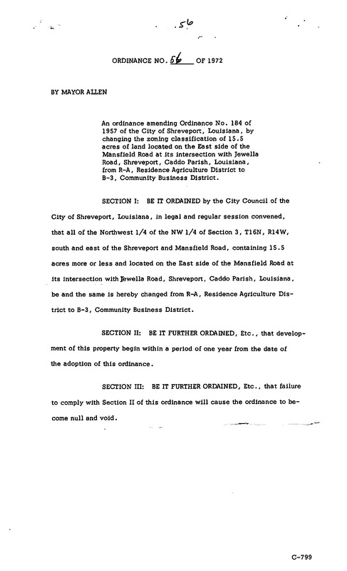
Ordinance amending Ordinance No. 184 of 1957 of the City of Shreveport, La., by changing the zoning classification of 15.5 acres of land located on the east side of the Mansfield Road at its intersection with Jewella Road, Shreveport, Caddo Parish, Louisiana, from R-A, Residence Agriculture District to B-3, Community Business District
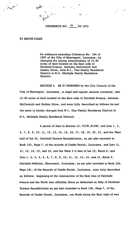
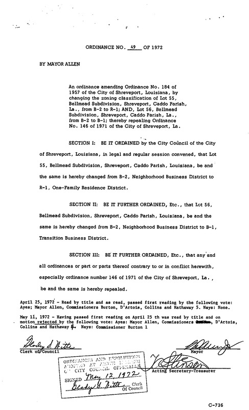
Ordinance amending Ordinance No. 184 of 1957 of the City of Shreveport, La., by changing the zoning classification of 12.65 acres of land located on the east side of Fairfield Avenue, between McCormick and Dudley Drive, from R-1, One-Family Residence District to R-3, Multiple Family Residence District.
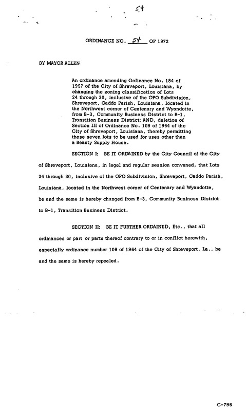
Ordinance amending Ordinance No. 184 of 1957 of the City of Shreveport, La., by changing the zoning classification of lots 24 through 30, inclusive of the OPO Subdivision, Shreveport, Caddo Parish, Louisiana, located in the Northwest corner of Centenary and Wyandotte, from B-3, Community Business District to B-1, Transition Business District; AND, deletion of Section III of Ordinance No. 109 of 1964 of the City of Shreveport, Louisiana, thereby permitting these seven lots to be used for uses other than a Beauty Supply House.
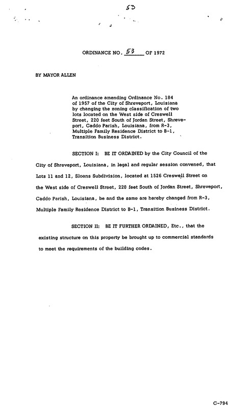
Ordinance amending Ordinance No. 184 of 1957 of the City of Shreveport, La., by changing the zoning classification of two lots located on the west side of Creswell Street, 220 feet south of Jordan Street, Shreveport, Caddo Parish, Louisiana, from R-3, Multiple Family Residence District to B-1, Transition Business District.
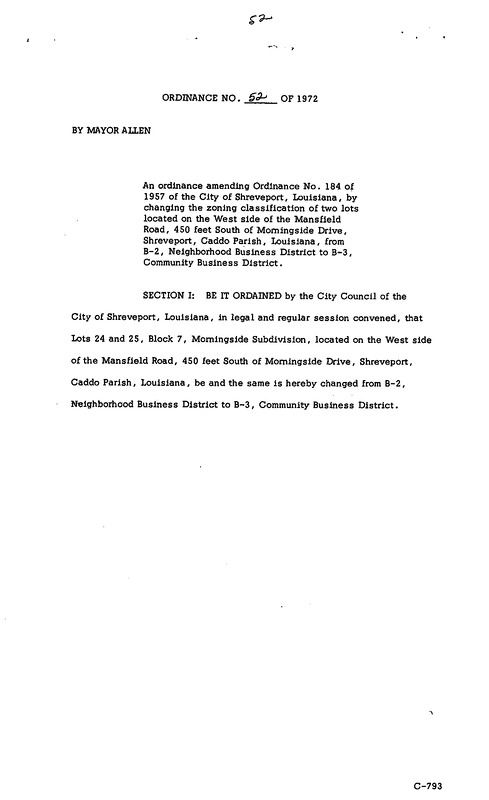
Ordinance amending Ordinance No. 184 of 1957 of the City of Shreveport, La., by changing the zoning classification of two lots located on the west side of the Mansfield Road, 450 feet south of Morningside Drive, Shreveport, Caddo Parish, Louisiana, from B-2, Neighborhood Business District to B-3, Community Business District.
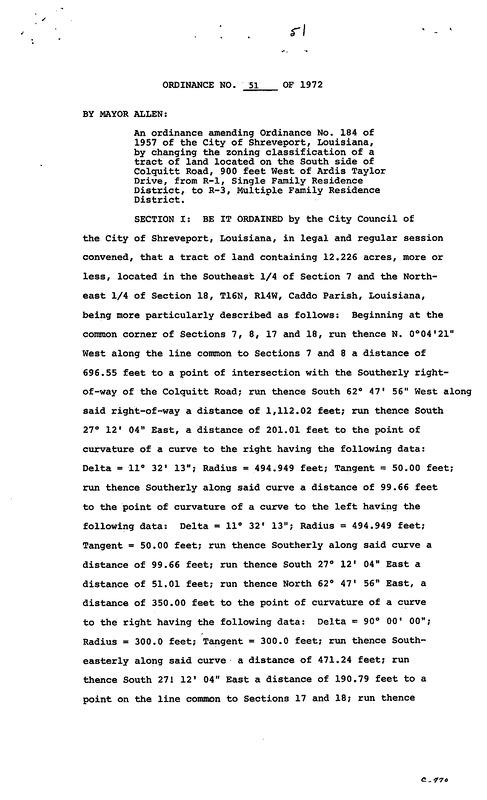
Ordinance amending Ordinance No. 184 of 1957 of the City of Shreveport, Louisiana, by changing the zoning classification of a tract of land located on the south side of Colquitt Road, 900 feet west of Ardis Taylor Drive, from R-1, Single Family Residence District, to R-3, Multiple Family Residence District.
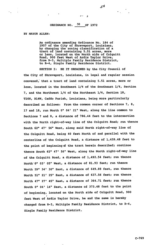
Ordinance amending Ordinance No. 184 of 1957 of the City of Shreveport, Louisiana, by changing the zoning classification of a tract of land containing 5.51 acres, more or less, located on the north side of Colquitt Road, 900 feet west of Ardis Taylor Drive, from R-3, Multiple Family Residence District, to R-4, Single Family Residence District.
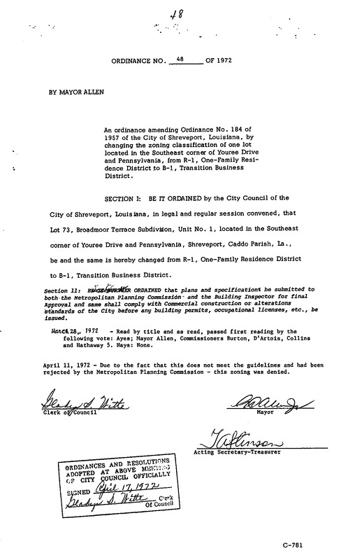
Ordinance amending Ordinance No. 184 of 1957 of the City of Shreveport, Louisiana, by changing the zoning classification of one lot located in the Southeast corner of Youree Drive and Pennsylvania, from R-1, One-Family Residence District to B-1, Transition Business District.
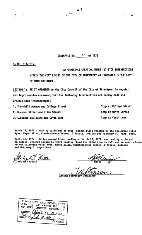
Ordinance creating three (3) stop intersections within the city limits of the City of Shreveport at Thornhill Ave. and College St., Buckner St. and Olive St., Lynbrook Blvd. and Coyth Ln.
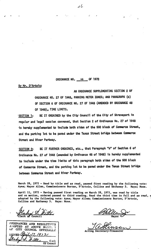
Ordinance supplementing section 2 of Ordinance No. 27 of 1948, parking meter zones; and paragraph (b) of section 6 of Ordinance No. 27 of 1948 (amended by Ordinance 48 of 1948). Time limits
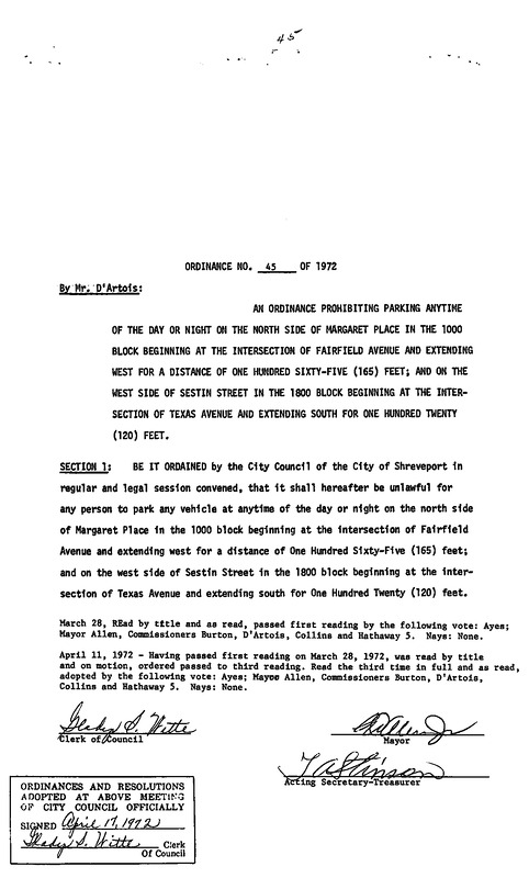
Ordinance prohibiting parking anytime of the day or night on the north side of Margaret Place in the 1000 block beginning at the intersection of Fairfield Avenue and extending west for a distance of one hundred sixty-five (165) feet; and on the west side of Sestin Street in the 1800 block beginning at the intersection of Texas Avenue and extending south for one hundred twenty (120) feet.
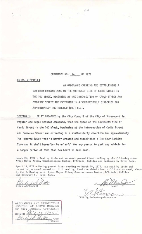
Ordinance creating and establishing a two-hour parking zone on the northwest side of Caddo Street in the 100 block, beginning at the intersection of Caddo Street and Commerce Street and extending in a southwesterly direction for approximately two hundred (200) feet.